iShelfish App Instructions
Main_Content

The mobile application is intended to be a guide on the water. It is not intended to be used for navigational purposes. It is your responsibility to maintain internet coverage while using the application. The Maryland Fisheries regulation data shown is for general information only. For the legal boundary(ies) consult the Annotated Code of Maryland and the current Regulations of the Department of Natural Resources (Fisheries are found in
COMAR 08.02).
Click on the following areas to go directly to those specific sections.
Upon opening the application, you must agree that the data is for general information only.
Then the iShellfish map opens.
Tools and Descriptions
There are several tools on this page to assist you in understanding how to shellfish in Maryland waters.
TOP MENU BAR (red)
Click the word COMAR to view COMAR (Code of Maryland Regulations) Regulations.
Click on the word MD DNR will open the Maryland Department of Natural Resources homepage.
TOP MENU BAR (red) - Right side
Click the
first icon to view the legend (shown below)
click on the image for a larger view
Click on the
second icon to turn on or off the view for each layer to isolate the information you need or combine several or all.

Layers:
- NOB - MD Natural Oyster Bars
- Yates - MD Historic Oyster Bottom
- MD Shellfish - Oyster Sanctuaries
- MD Active Pound Net Sites
- 2020 SAV
- Aquaculture SAV
- Active Oyster Leases
- Public Shellfish
- Active Restoration Sites
- Harvest Reserves Areas
- PRFC Boundary
- Fed Nav Channels Buffered
- NOB Contours
- MDE Shellfish Harvesting Classifications
Click on the third icon to print the map with your selections (works best with a color printer)
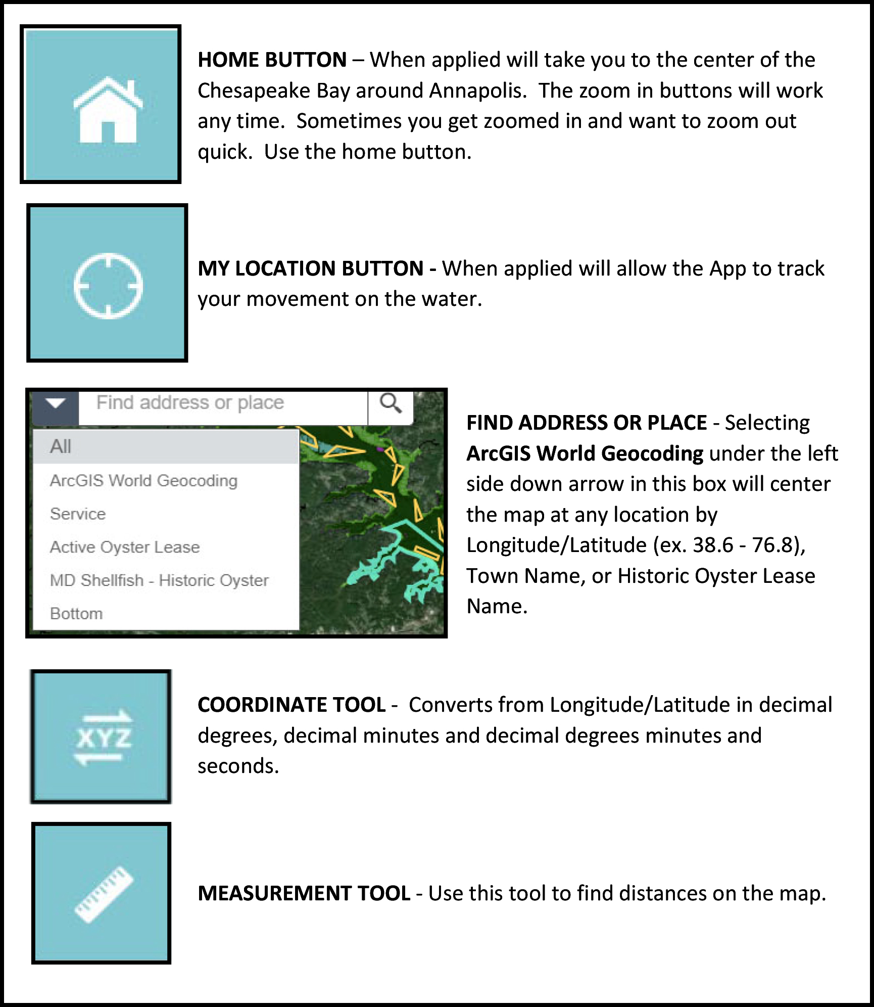
Map Widgets (left side on map)

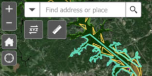
These Widgets will allow you to tailor your view to your liking and to your specific reference

Click on the image for a larger view