Fish Passage

"...to provide for fish passage at dams, and remove stream blockages wherever necessary to restore passage for migratory fish..."


That was the primary goal of the Fish Passage Program (FPP) when it was Established in the Chesapeake Bay Agreement in 1987. This landmark agreement Included commitments by Maryland, Pennsylvania, Virginia, and the District of Columbia. Our initial efforts were focused on reopening over 1,300 miles for Anadromous species like shad and herring, so they could reach upstream spawning Habitat. After surpassing our original goal by opening 1,838 miles by 2005, the group decided to expand the goal to 3,500 miles by 2025. This new goal now includes opening habitat for all fish species and favors dam removals over fish ladders.


​​Meet the Fish Passage Program Manager

​and learn more about the Program


Building Better Stream Crossings

Keeping Maryland's Streams Connected.

Stream Extent & Barriers: Maryland contains over 10,000 miles of rivers and streams, where common road-stream crossings often block aquatic life and natural water processes. Infrastructure Solutions: Bridges serve as the ideal solution; however, when building a bridge is not feasible, properly designed culverts are essential to restore aquatic connectivity.THE PROBLEM - list of six negative impacts of poorly designed stream crossings, each marked with a red Side-by-side comparison illustrating stream crossing designs: Poorly Designed Culvert (Left): Shows a round pipe elevated above the water creating a waterfall effect. Text notes a perched outlet, shallow water, and smooth bottom that prevent fish passage. Better Design (Right): Shows an arched bridge structure spanning a wide, rocky stream. Text highlights an open bottom, embedded structure, and natural streambed that allow fish to pass.

Design for Nature: Key Recommendations

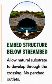
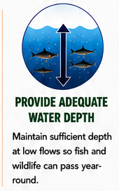
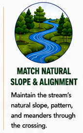
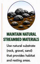
Crossings should mimic the natural stream.
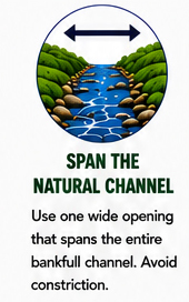
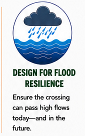
Circular diagram of a river channel with a horizontal double-headed arrow spanning the full width between banks. Below, text titled Circular illustration of an arched culvert structure set below the streambed line, with a downward arrow pointing to natural rocks on the bottom. Below, text titled Circular graphic showing fish swimming under water with a double-headed vertical arrow indicating water depth. Below, text titled
Circular illustration of a winding river flowing through a green, tree-lined landscape. Below, text titled Circular graphic showing rocks, gravel, and sand on a streambed. Below, text titled Circular icon depicting a dark raincloud raining into blue water waves. Below, text titled
​​