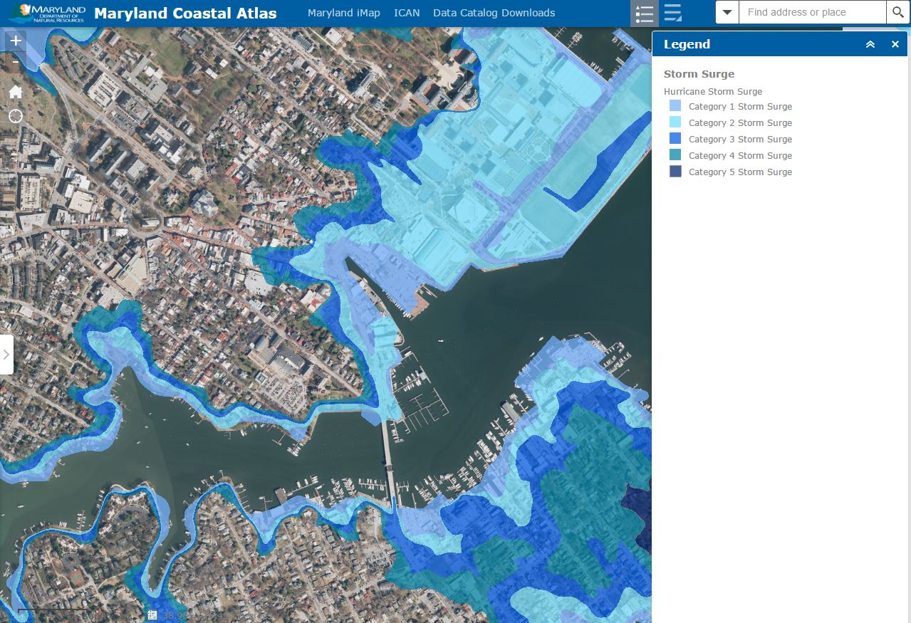
Do you know how vulnerable your home or business may be to the next Irene or Sandy? Maryland’s Coastal Atlas is an online mapping and planning tool designed to allow users to explore and analyze data for coastal and ocean planning activities. Originally launched in 2008, the Coastal Atlas has undergone a number of improvements over the years – the latest version, launched in April 2016, being no exception. The new mapping platform allows planners and the public to view, query, and download data on physical characteristics, human uses, and ecological resources, all of which can be used to make better decisions. With hurricane season approaching, Maryland residents may find one of datasets particularly helpful in exploring their vulnerability to flooding – the Hurricane Storm Surge dataset.
Based on estimated property values1, the Maryland coastal zone is at risk of $22.4 billion in potential residential property damage to hurricane storm surge. The Hurricane Storm Surge dataset on the Coastal Atlas was created in partnership with the United States Army Corps of Engineers and is based on the Sea, Lake, and Overland Surges from Hurricanes (SLOSH) model. The SLOSH model is a computer model developed by the National Weather Service for coastal inundation risk assessment and the prediction of storm surge. It estimates storm surge heights resulting from historical, hypothetical, or predicted hurricanes. SLOSH computes storm surge by taking into account a storm's atmospheric pressure, size, forward speed, track, and winds. The calculations are applied to a specific locale's shoreline, incorporating the unique bay and river configurations, water depths, bridges, roads, levees, and other features.
Maryland coastal property owners can use the Coastal Atlas to search their address, zoom to the location, turn on the Storm Surge data, adjust the transparency, and explore their vulnerability to different categories of hurricane storm surge. This data allows property owners, coastal planners, and emergency responders to understand where the most vulnerable areas exist and attempt to minimize the impacts of the next big hurricane.
For more information on the Coastal Atlas, visit http://dnr2.maryland.gov/ccs/Pages/coastalatlas.aspx or contact [email protected].
1 Based on estimated value of single-family home, as calculated by CoreLogic in April 2013.