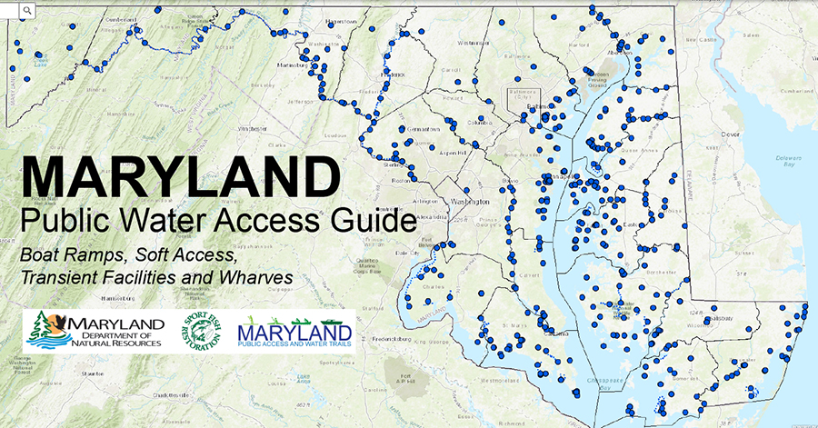
The Maryland Online Water Access Guide is a web application that provides detailed information on boat ramps, soft access (specifically for non-motorized vessels), and transient docking facilities that are open to the general public. In Maryland, non-motorized vessels may launch from boat ramps but are encouraged to use separate soft access areas if one is provided at the same site.
The majority of public water access sites in Maryland are managed and maintained by the local jurisdictions in which they are located. Fees, permits and regulations vary by jurisdiction so it is highly recommended that you contact the managing entity to clarify requirements before you go. Phone numbers for site managers are listed in the site details.
CLICK ON THE MAP BELOW TO LAUNCH THE WEB APP
(Please be patient. The data may load slowly)

Users may also explore water access sites using the Water Access Dashboard by
clicking here.
A NOTE TO BOATERS REGARDING THE FRANCIS SCOTT KEY BRIDGE AND THE PATAPSCO RIVER:
Boat traffic along the Patapsco River, in the vicinity of the old Francis Scott Key Bridge is limited to old main span piers, including the navigational channel and the 150-foot buffer areas on either side of the channel near the construction site for the new bridge. Fort Armistead Park and Bear Creek access will remain open through construction of the new bridge.
Waterway users need to slow down and use caution while transitioning through the permissible areas. A 6-knot speed zone, implemented by the Maryland Department of Natural Resources, extends 1,500 feet upstream of the old bridge and 1,500 feet downstream of the new bridge, excluding the navigation channel. The U.S. Coast Guard-enforced Temporary Safety Zones (TSZs) or Exclusion Zones are similar but defined by white buoys and based on active work. The TSZs will be in place for the duration of the demolition and rebuild processes.
For more information visit
keybridgerebuild.com/.
The information on this site changes frequently. Input and comments are welcome and can be submitted by e-mail to
[email protected] or sent to:
The Maryland Department of Natural Resources
Public Access, Water Trails and Recreation Planning Program
303 Marine Academy Drive
Stevensville, MD 21666