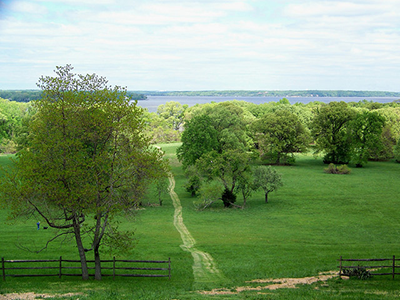
 Trails
Potomac River Trail
This hiking trail doubles as a service road that joins the original Chapman’s Landing Road to the Potomac River. The 0.6 mile trail roughly marks the boundary between a dry sandy woodland (to the northeast), and a more moist, richer forest (to the southwest).
Marsh Trail
This marked trail branches off of the Potomac River Trail, and meanders through a fertile bottomland woods that contrasts the sandier woodland along the Potomac shoreline. The 0.7 mile trail leads to an unusual “scrub-shrub” marsh which is separated from the Potomac River by a narrow spit.
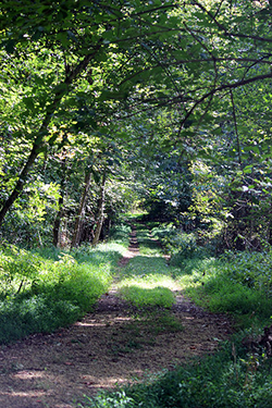 Coastal Woodlands Trail
This clearly marked, 1-mile trail joins the Potomac River Trail to make a 1.5 mile loop. The trail runs through various habitats, including a terrace gravel forest and a coastal oak forest, to eventually run along the Potomac shoreline.
Trail Maps
A map of the trails at Chapman State Park can be downloaded for free from this website. Please make sure to read the printing instructions and information for how to download the file to cell phones. The map is in a PDF format that requires Adobe Reader. To get the free Adobe Reader go to Adobe.com.
